Chandlers Road, St Albans, Herts, AL4 9RS


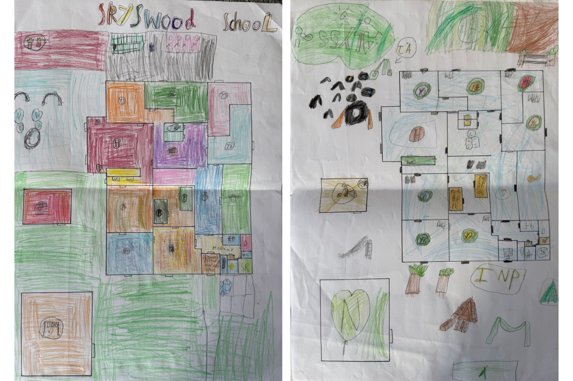
Maps of Skyswood by Year 2!
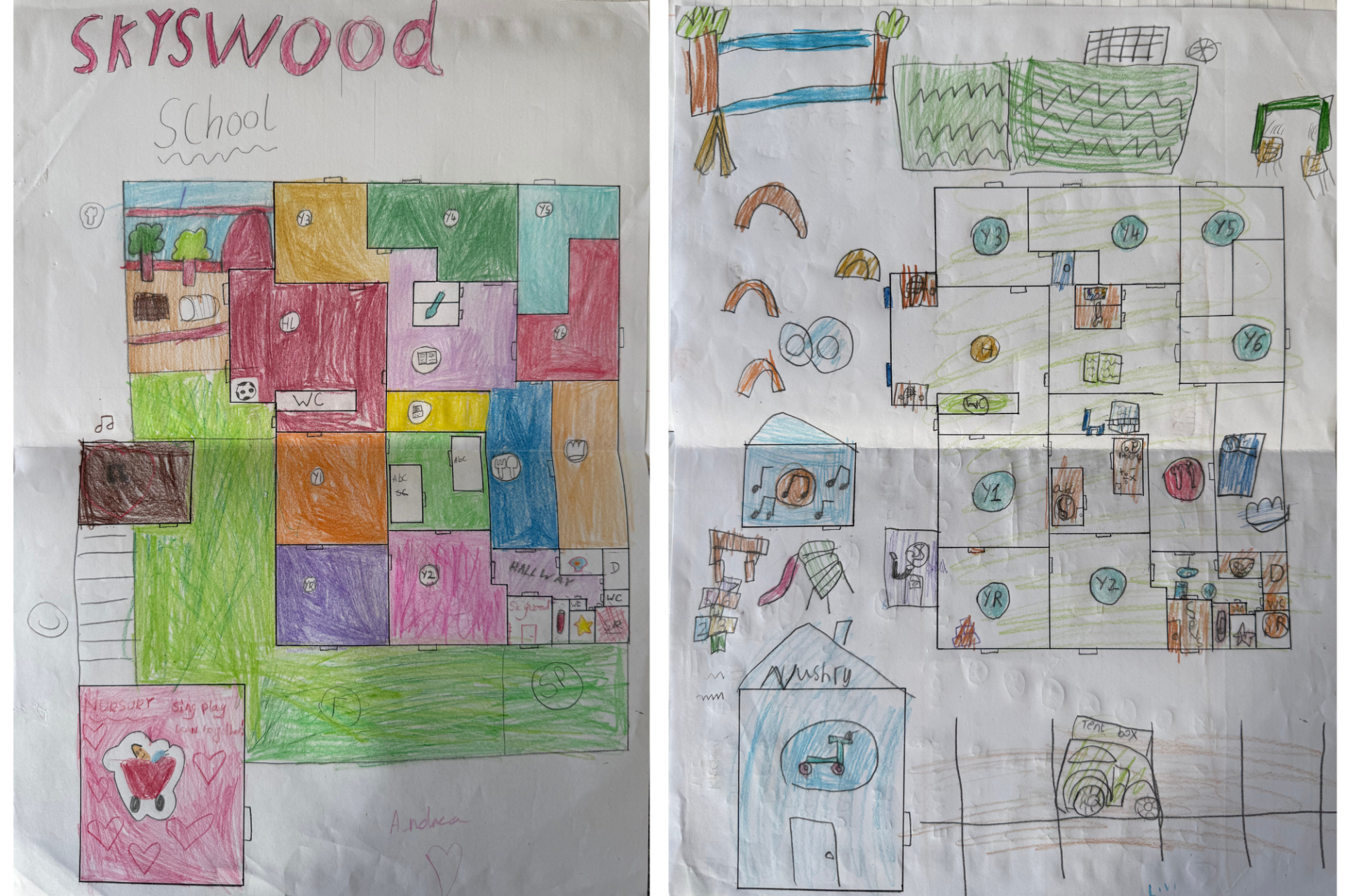
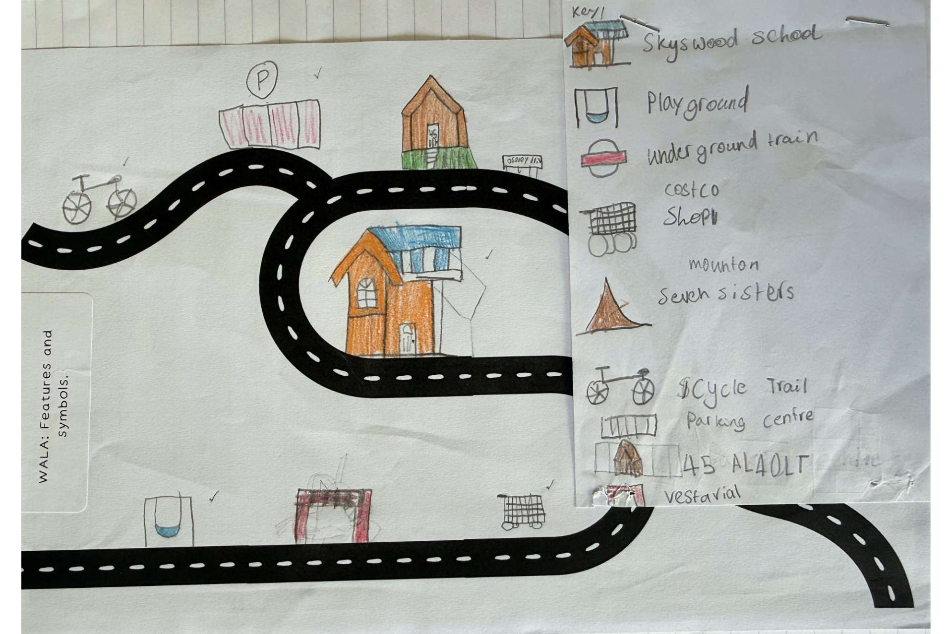
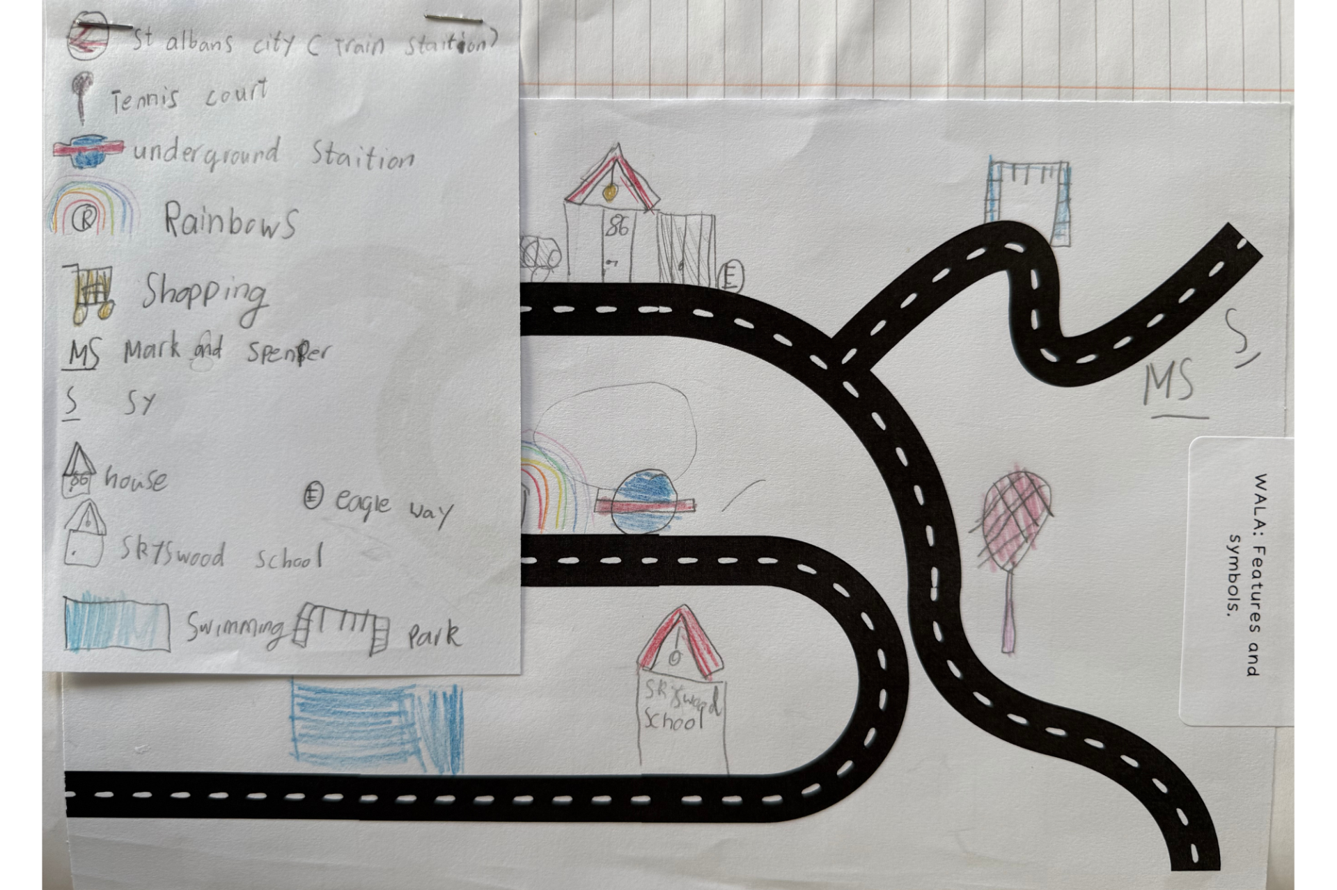
Year 2 have spent this half term learning all about maps in their Geography lessons. As part of their learning, the children have been busy creating their own maps of the school, using the different features and conventions of a map that they have explored throughout the topic. They have thought carefully about how to represent different areas and important features of the school using appropriate symbols and colours.
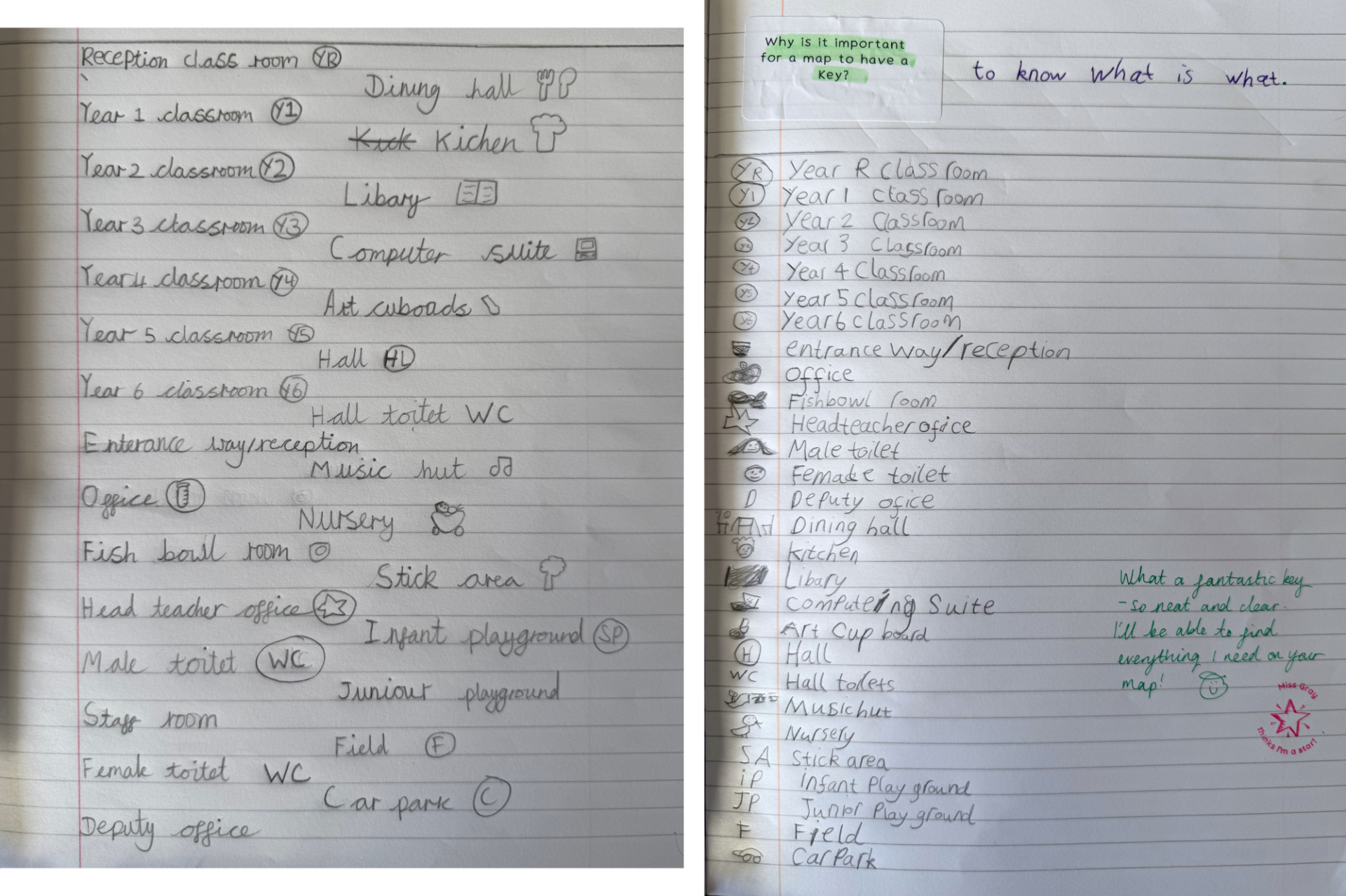
The children have also created their own map keys to explain what each symbol represents, helping to make their maps clear and easy to understand.
They have thoroughly enjoyed putting their geographical knowledge into practice and creating their own maps!